
At NSO, we integrate Artificial Intelligence with Geographic Information Systems (GIS) to unlock the power of location-based data. Our spatial-intelligence solutions are designed to help enterprises and governments see patterns, predict outcomes, and act with greater confidence. We provide a full suite of products built on industry-leading foundations, empowering you to centralize mapping, analysis, and geospatial services across your organization.
Unlock the full potential of geospatial intelligence with our next-generation Enterprise GIS platform. Designed for scalability and precision, our solutions integrate AI, analytics, and automation to help organizations visualize, analyze, and act on location-based data. From real-time field monitoring to predictive mapping, we empower smarter, data-driven decisions across industries.
Centralized, full-stack GIS infrastructure-on-prem, cloud, or hybrid.
Real-time data collection, monitoring, and citizen engagement tools.
Uncover trends and patterns through deep geospatial analysis.
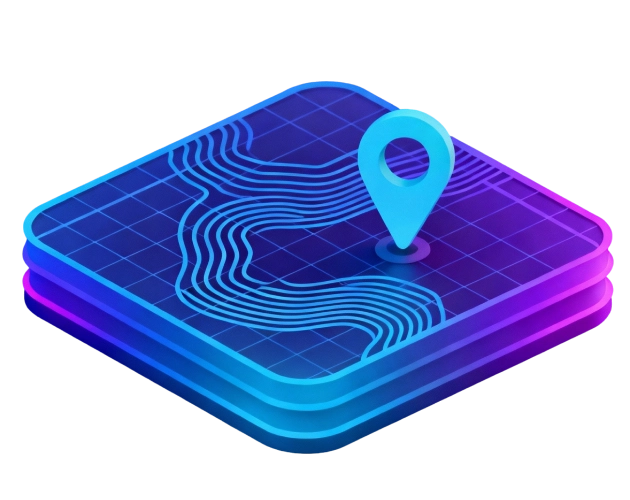
Combine AI with spatial data for predictive and visual insights.
Comprehensive system design, migration, and 24×7 managed support.
A-111, 11th Floor, Mittal Court, Nariman Point, Mumbai 400021
1st Floor, Nutan Sayali, College Road, Nashik, Maharashtra 422005

An AI-driven GIS combines Artificial Intelligence with Geographic Information Systems to turn location data into actionable insights and predictions.
It helps businesses and governments analyse spatial data, spot patterns, and make smarter, faster, and more informed decisions.
Our platform integrates AI, analytics, and automation to deliver real-time, accurate, and scalable geospatial intelligence for any organisation.
Yes, our solutions support multiple sectors, including urban planning, defence, logistics, environment, and public safety.
AI automates data analysis, predicts outcomes, detects patterns, and enhances mapping accuracy for better decision-making.